🏔️ Get the free Colorado Springs Local Cheat Sheet
A 20-year local’s shortlist, best taco, best hike, the Garden of the Gods timing trick, and more. Plus a short weekly email on what’s happening around town. Free.
The Manitou Incline is a challenging hiking trail that attracts fitness enthusiasts and adventure seekers. Located in Manitou Springs, this former cable car track climbs 2,000 feet in less than one mile. The steep ascent features 2,744 steps and offers gorgeous views of Colorado Springs and the surrounding area.
The Incline’s history dates back to 1907 when it was built as a railway to carry pipes for a hydroelectric plant. It later became a tourist attraction until a rockslide damaged the track in 1990. Today, it stands as a popular outdoor recreation spot for locals and visitors alike.
Hikers who tackle the Incline can expect a tough workout and incredible scenery. The trail is open year-round, but weather conditions can affect accessibility. Many people use the Incline as part of their training regimen or as a personal challenge to test their fitness level.
History and Significance
The Incline has a rich history dating back to the early 1900s. It started as a cable car system and later became a popular hiking trail and fitness challenge.
Origins of the Incline
The Incline began in 1907 as a cable car railway to carry pipes up Pikes Peak. It was built by Dr. Newton Brumback for the Manitou and Pike’s Peak Railway. The track climbed 2,000 feet over a distance of about 1 mile.
In 1914, the Incline opened to tourists. It gave visitors amazing views of Colorado Springs and the plains beyond. The cable car ran until 1990 when a rockslide damaged the track.
After the railway closed, people started hiking up the old tracks. This was not allowed at first. But the trail grew more and more popular over time.
Cultural Impact
The Manitou Incline is now a famous tourist attraction and fitness test. It has over 2,700 steps made from old railway ties. The trail gains 2,000 feet of elevation in less than 1 mile.
Thousands of people climb the Incline each year. It’s known as one of the toughest workouts in the state. Many athletes use it for training.
The Incline has become a symbol of Colorado Springs. It shows the area’s love for outdoor activities and tough challenges. The trail brings visitors from all over the world to test their strength and enjoy beautiful mountain views.
Trail Description
The Colorado Springs Incline is a challenging but rewarding hike with steep terrain and striking views. It offers a unique experience for hikers seeking an intense workout.
Starting Point
The trail begins at the base of the incline in Manitou Springs. Hikers can find parking in designated lots nearby. The starting elevation is about 6,600 feet above sea level. At the trailhead, there’s a sign with important safety info and trail rules. The first steps of the incline are relatively gentle, but the grade quickly steepens.
Summit and Views
The summit of the incline sits at 8,590 feet in elevation. Hikers gain nearly 2,000 feet over less than 1 mile. Near the top, a false summit tricks many climbers into thinking they’ve finished. The true summit comes shortly after. From the top, hikers enjoy sweeping views of Colorado Springs and the surrounding mountains. On clear days, you can see for miles in all directions.
Trail Features
The incline follows old railway ties, creating a staircase-like path. There are about 2,744 steps total. Rest stops with benches appear at several points along the trail. Mile markers help hikers track their progress. The trail is very steep, with an average grade of 45% and some sections reaching 68%. Safety railings line parts of the path. Water isn’t available on the trail, so hikers must bring their own. The incline is one-way up only, hikers take a separate trail down.
Physical Challenge
The Colorado Springs Incline presents a demanding physical test for hikers. Its steep grade and high elevation gain make it a tough workout for even experienced athletes.
Average and Steepest Grades
The Incline has an average grade of 41%. This means for every 100 feet of horizontal distance, the trail climbs 41 feet vertically. Some sections are much steeper. The steepest part reaches a 68% grade. This extreme slope forces hikers to carefully watch their footing.
The trail’s surface adds to the difficulty. It consists of uneven wooden ties and loose gravel. This makes each step more challenging than a normal hiking trail.
Elevation Gain
The Incline climbs 2,000 feet in just under one mile. This rapid ascent is equal to climbing 200 flights of stairs. The starting elevation is 6,600 feet above sea level. The summit sits at 8,600 feet.
The high altitude makes breathing harder. As hikers climb, the air gets thinner. This can cause fatigue and shortness of breath. It’s important to pace yourself and take breaks as needed.
Fitness Level Requirements
The Incline is not for beginners. It requires a good level of fitness. Hikers should be able to climb stairs for at least 30 minutes without stopping. Strong leg muscles and good cardio endurance are key.
The trail takes most people 1-2 hours to complete. Fitter individuals may finish in under an hour. Less fit hikers might need 2-3 hours. It’s crucial to know your limits and turn back if needed.
Proper preparation is vital. Bring water, snacks, and sun protection. Wear sturdy shoes with good traction. Start early in the day to avoid afternoon heat and storms.
Safety and Preparation
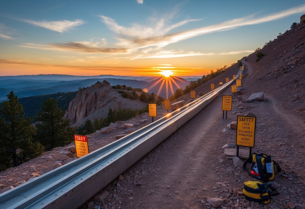
The Colorado Springs Incline is a tough climb that needs careful planning. Hikers should know about altitude effects and ways to stay healthy on the trail.
Dealing With High Altitude
The Incline starts at 6,500 feet and climbs to 8,590 feet. This high altitude can cause problems for some people. Symptoms may include:
- Headaches
- Dizziness
- Shortness of breath
- Nausea
To avoid altitude sickness, hikers should:
- Take it slow and steady
- Rest often
- Listen to their body
- Turn back if symptoms get worse
It’s best to spend a day or two in Colorado Springs before attempting the Incline. This gives the body time to adjust to the thinner air.
Hydration and Medical Tips
Proper hydration is key for a safe climb. Hikers should:
- Drink plenty of water before, during, and after the hike
- Bring at least 1 liter of water per person
- Avoid alcohol the night before
Dehydration can happen quickly at high altitudes. Signs include:
- Dry mouth
- Fatigue
- Dark urine
In case of a medical emergency, hikers should know:
- The location of the nearest hospital
- How to contact local emergency services
- Basic first aid skills
It’s smart to hike with a buddy and tell someone about your plans. Hikers should also check their fitness level before attempting the Incline. The climb is very steep and can be hard on the body.
Planning Your Visit
The Colorado Springs Incline is a popular hiking spot that requires some preparation. Here are key details to help you plan a successful trip.
Parking and Fees
Parking for the Incline is limited. The main lot at the base fills up quickly, especially on weekends. It costs $10 per vehicle. Free parking is available at the Hiawatha Gardens lot in Manitou Springs. A free shuttle runs from there to the Incline base every 20 minutes.
Hikers can also park at the Iron Springs Chateau for $5. This lot is closer but has fewer spaces. Street parking in nearby neighborhoods is not allowed.
The Incline itself is free to use. No entrance fee is charged to climb the steps.
Reservation System
A free reservation system is in place to manage crowds. Hikers must book a time slot online before visiting. Slots open 7 days in advance and can be reserved up to 1 hour before arrival.
Each person needs their own reservation. Time slots are available every 30 minutes from sunrise to sunset. Hikers can arrive up to 5 minutes before or after their slot.
Reservations can be shown on a phone or printed out. Staff check them at the Incline entrance.
Nearby Attractions
The area around the Incline offers more outdoor fun. Barr Trail is a gentler route that connects to the top of the Incline. It’s often used as a way down after climbing up.
Red Rock Canyon Open Space is just a short drive away. It has miles of trails for hiking and biking. The park’s red sandstone formations are beautiful and unique.
The Northern Incline Return Trail provides an easier way back down. It starts at the top of the Incline and ends near the base. This trail is less steep than the Incline itself.
Frequently Asked Questions
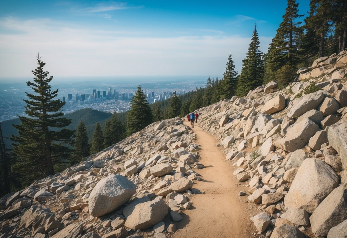
The Manitou Incline is a popular hiking spot with some unique features. Here are answers to common questions about this challenging trail.
What is the elevation gain of the Manitou Incline?
The Manitou Incline has an elevation gain of about 2,000 feet. Hikers climb from the base at 6,500 feet to the summit at 8,500 feet above sea level.
How many steps are there on the Manitou Incline?
The Manitou Incline has approximately 2,744 steps. These steps are made from old railroad ties and follow the path of a former cable car track.
Is a reservation required to hike the Manitou Incline?
Yes, a free reservation is needed to hike the Manitou Incline. Hikers must book a time slot online before their visit.
How long typically does it take to complete the Manitou Incline hike?
The time to complete the Manitou Incline varies based on fitness level. Most hikers take 1-2 hours to reach the top. The descent on Barr Trail usually takes 30-60 minutes.
Are there any parking options available near the Manitou Incline?
Parking near the Manitou Incline is limited. Hikers can use paid parking lots in Manitou Springs and take a free shuttle to the trailhead.
Is the Manitou Incline suitable for beginners?
The Manitou Incline is very steep and challenging. It’s not recommended for beginners or those with health issues. Hikers should be in good physical condition and prepared for a strenuous climb.
Stay close for an early Barr Trail / Incline start
Manitou is the practical overnight if you want the shuttle or trailhead without a pre-dawn drive from the east side.
Book Colorado Springs and drive over
Water and a light layer matter on this climb: water bottle on Amazon →
Incline kit that survives the rails
- Hydration vest — hands-free on the climb
- Trail shoes — rail ties punish road trainers
- Electrolyte packets — dry air + altitude
More Colorado Springs Guides
- Royal Gorge: Is It Worth the Trip? A Local’s Honest Review
- Pikes Peak: Drive It, Hike It, or Take the Train, A Local’s Breakdown
- Scenic Drives Near Colorado Springs: The Routes Worth Your Gas Money

Leave a Reply